Trimble® Trident 3D Analyst Software™
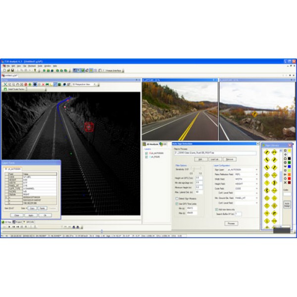
Trimble Trident-3D Analyst software is used in the office to analyze and interpret geo-referenced imagery and laser scanner data captured during field data capture operations.
It includes a user interface with very robust object positioning, measurement, and data layer creation capabilities. Automation functions increase your productivity and reduce turnaround time.
View, pan, zoom and playback the 360° imagery
Extract data from the images, which uses stereo restitution with a dynamic stereo base
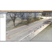
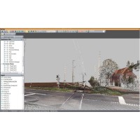
3D, 4D (plus time), and 5D (plus cost) models can now be generated efficiently with minimal turnaround time
OFFICE SOFTWARE FOR FAST AND ROBUST ANALYSIS AND INTERPRETATION OF FIELD DATA
The numerous features and capabilities include: positioning; measuring in 3D; zooming on, adding, editing or deleting visible features using any views from multiple image streams; linear referencing; offset measurement and chainage; data handling flexibility enabled through open data format architecture; ODBC connectivity; automatic data export to most GIS; import and/or customizable data layer representation; data model definition and definable data entry forms; multiple map projections; and pavement defect rating facilitated by perspective digital imaging capabilities, pavement image rectification and mosaicing.
Application specific toolkits can be added to provide additional functions for asset and pavement management, road design, maintenance, and rehabilitation as well as electric distribution asset maintenance.
With its industry-leading automation functions, Trimble Trident-3D Analyst accelerates your projects and empowers infrastructure managers to make informed decisions using a model of their infrastructure.
.png)


